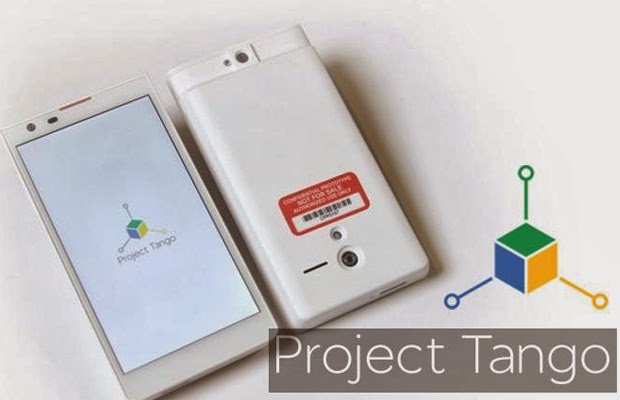
In what could either be the most significant advance in mapping software since the application became popular on the web, or the greatest yet intrusion on individual privacy, Google has announced its developing a new, 3D, Android based mapping project which aims to digitize a mobile phone user’s surroundings wherever they go.
Called Project Tango, the just launched app is in alpha, prototype, smartphone testing phase and the search giant is throwing open the doors to the technology platform to developers eager to get in on the ground floor.
The scope of Project Tango is ambitious and far seeing, with the aim to create a 3D mapping app of the future which would virtually guarantee the user would be incapable of getting lost, no matter where they went.
But, Google doesn’t stop there.
According to the Project Tango splash page announcement, the company wonders, “What if you could capture the dimensions of your home simply by walking around with your phone before you went furniture shopping? What if directions to a new location didn’t stop at the street address? What if you never again found yourself lost in a new building? What if the visually-impaired could navigate unassisted in unfamiliar indoor places? What if you could search for a product and see where the exact shelf is located in a super-store?”
Project Tango is currently taking applications for about 200 different developers to explore a starter kit Android phone to see what other uses this 3D mapping software could be good for.
But the real test might just be how well Project Tango can help you find the fridge in the middle of the night.
Here’s the video:
.jpg)


.jpg)


